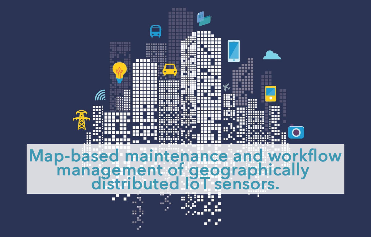
IoT Sensor Monitoring

Scale and have Ownership of your smart city infrastructures with an aggregating tool to supervise the condition of your individual sensors.
With MapGage generate the right field information and make the right decisions
MapGage is a cloud based solution allowing cities and companies to associate field observations with maps, CAD, blueprints and sensor data for inspections, surveys, maintenance evaluation, snags and tasks.
IoT sensor monitoring platform and mobile app for sensors:
- localisation (GIS-based inventory),
- installation (with step by step procedures),
- calibration (for comparable measures),
- monitoring (communication, battery life, thresholds),
- maintenance (threshold alerts leading to calls for actions).
Replace your paper forms with a mobile geospatial data collection tool:
Our Form Builder allows you to build, distribute and manage self-contained, lightweight GIS apps across standard mobile devices. All without the need for specialized hardware, software or training. Replace all your paper forms with our mobile app and add powerful location tools to collect and leverage geospatial data. Visualize the data in interactive tables and maps. Your ground observations are now linked to specific locations on a drone map or a technical drawing.
Infinite applications: surveys, inspections, flexible work flow and more:
MapGage comes with powerful status and scheduling options, making it adaptable to any use case and workflow. Collect records in the field, schedule work plans, dispatch team members to a specific case or location and receive near-instant feedback through our mobile solution. This ensures that you can close the loop on cases and issues and manage teams and assets with the right set of data and confidence.
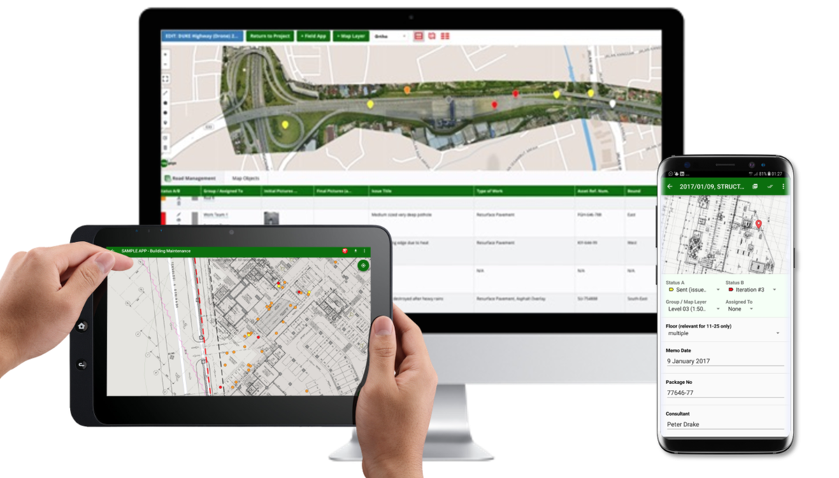
Bringing it all together… the MapGage geospatial portal:
Visualize your field and map data in a sharable, collaborative geospatial portal. Spot patterns, analyze differences and use these insights to make the right decisions. Dispatch your field teams to solve issues and report back. Manage your teams by adding and removing team members. Create Reports using the collected field data. Edit your existing forms on the fly and Create New Forms as needed.
Link your collected field data to other systems including your own databases:
Expand MapGage by connecting your geospatial data to 3rd party applications using our flexible API. Connect your field data to SAP, Oracle, ArcGIS, CartoDB or any other system. Integrate your own database systems, set up custom notifications, and build your own tools using your collected field data