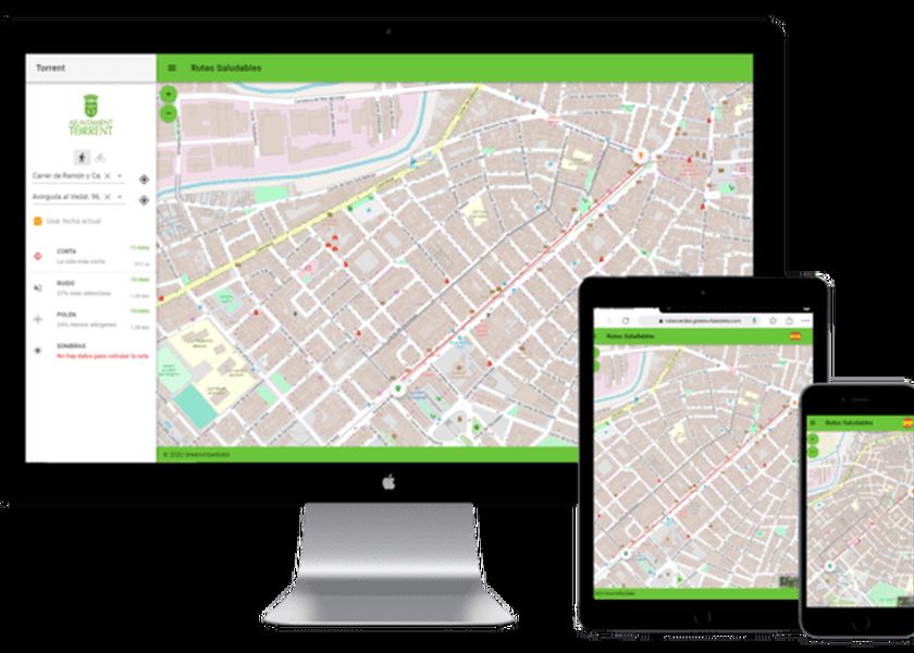
Healthy Routes App

Remote sensing is a technique of acquiring data from the Earth's surface from sensors installed on space platforms through the electromagnetic interaction between the field and the sensor.
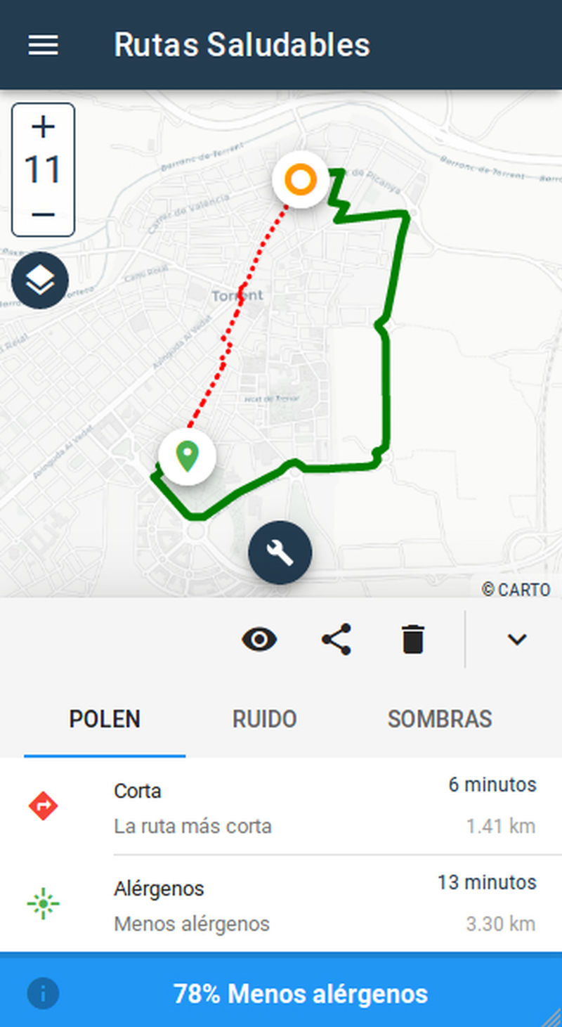
Provides citizens with information to walk or bike, considering the criteria of allergens, less noise levels, more shady areas, better Air Quality.
It is intended to offer citizens information on the state of their neighbourhood.
- Where you can go when there is a possible heat wave within the municipality (existence of climatic shelters).
- Areas of the city that accumulate more heat and residence in the area of the elderly or children.
- Parks of the city with better quality at that time.
The application includes two fundamental environmental indicators: Surface Temperature and Vegetation Quality.
This same information will be used by municipal technicians to develop adequate and efficient urban and environmental strategies to improve the Torrent municipal district.
Find out more at the dedicated project website.

Relevant challenges
- Get citizens to walk or use the bicycle regularly when traveling throughout the city.
- Promote healthy lifestyle habits and combat sedentary lifestyle.
- Reduce private traffic on short trips around the city.
Your cookie preferences
We use cookies and similar methods to recognize visitors and remember their preferences. To learn more about these methods, including how to disable them, view our cookie policy.

