Smart Mobile Mapping
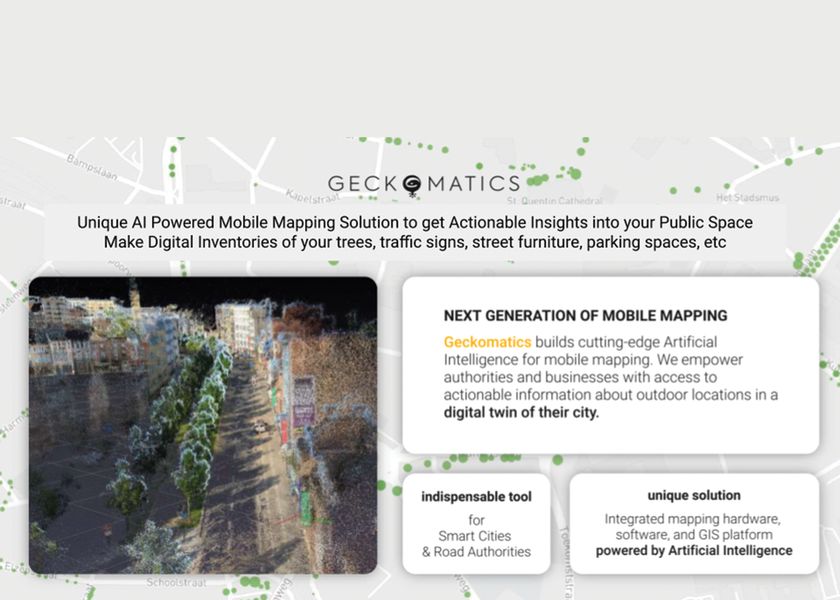
Imagine you have access to information about every physical asset in your city's public space.
Imagine you have a map that shows you all the trees in your streets, including how tall and wide they are, and how much carbon they absorb. Imagine you have an inventory of every traffic sign, every bus stop, recycle bin, bench, bollard and so on.
Imagine you have an advanced streetview of your city with all this information about the assets you can see from the comfort of your desktop.
This is what Geckomatics can do for your smart city.
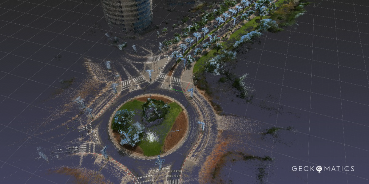
Digital twin for your city
We visualize your city with our AI algorithms as a point cloud.
A digital twin:
- gives new insights into city infrastructure
- allows facilitating collaboration among different stakeholders
- useful data for better planning mobility and safety of public space
- helps you understand the urban environment of your city
- assists in urban planning by providing you with relevant data
For that challenge, we have designed our own integrated solution: a camera for recording, AI algorithms for processing, and a GIS application for geodata management.
They work together so you can inspect and manage your city in a digital twin from the comfort of your desktop.